

Construction Companies & Developers
Track progress, document milestones, and keep stakeholders informed with professional aerial imagery. Our drone services help construction teams monitor sites efficiently, identify issues early, and maintain comprehensive visual records.
- Site progress documentation
- Orthomosaic maps for planning
- Stakeholder-ready reports
- Scheduled recurring flights
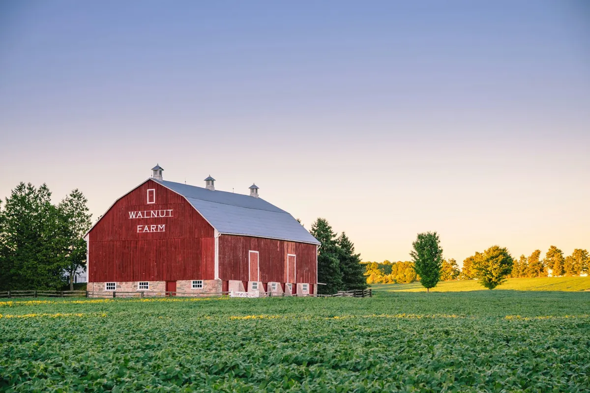
Farmers & Agriculture Professionals
Gain a bird's-eye view of your fields and land. Our aerial mapping services help farmers monitor crop health, plan drainage, identify problem areas, and make data-driven decisions for better yields.
- Full-field orthomosaic maps
- Drainage & irrigation planning
- Crop health visualization
- Land boundary documentation
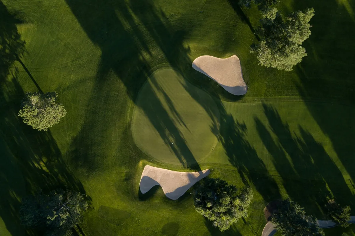
Golf Courses
Showcase your course from stunning aerial perspectives and plan improvements with precision. Our drone services help golf courses with marketing imagery, course layout documentation, tree management planning, and irrigation analysis.
- Hole-by-hole aerial imagery
- Course layout documentation
- Tree management planning
- Marketing & promotional photos
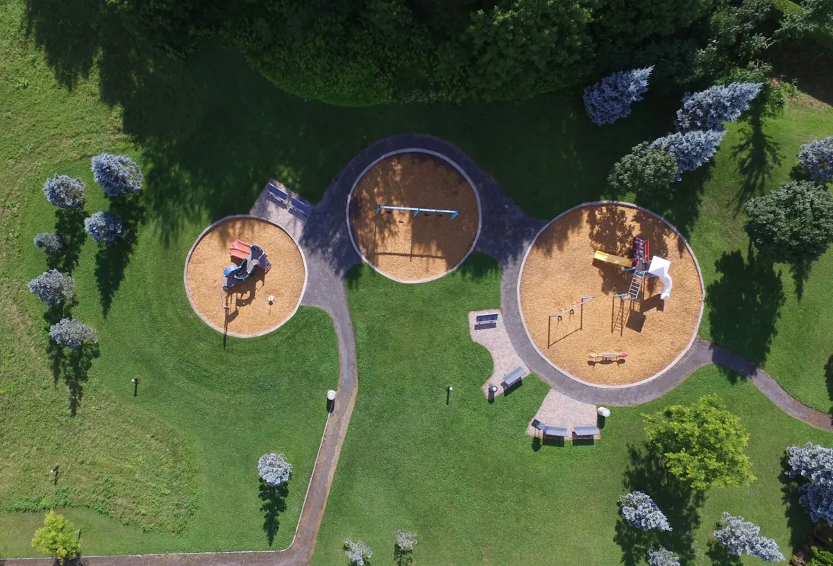
Parks, Municipalities & Land Managers
Document public spaces, plan improvements, and manage land resources effectively. Our aerial services help parks departments and municipalities with asset documentation, trail mapping, flood zone analysis, and grant application visuals.
- Park & trail documentation
- Land management planning
- Grant application visuals
- Infrastructure assessment
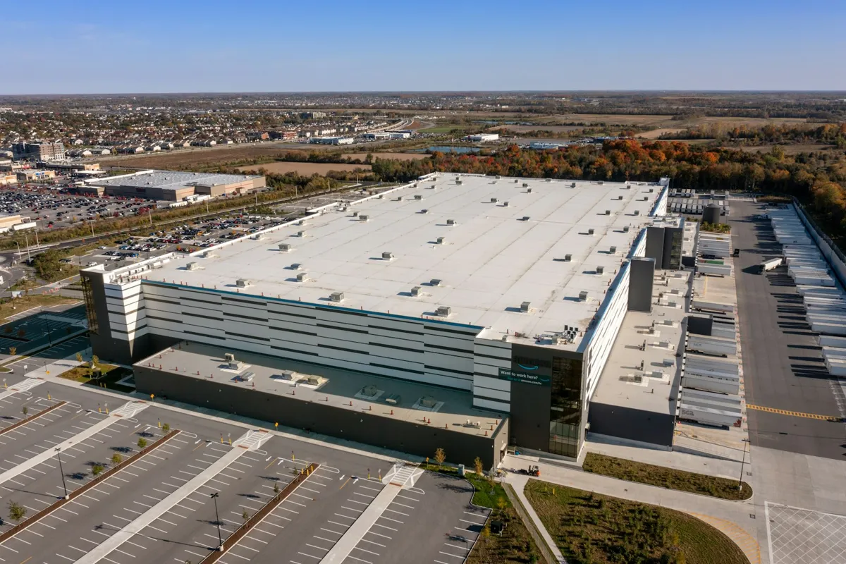
Commercial Property & Facility Managers
Document properties, inspect facilities, and showcase spaces with professional aerial imagery. Our drone services help property managers with roof inspections, parking lot documentation, security assessments, and marketing materials.
- Roof & exterior inspections
- Property documentation
- Parking lot mapping
- Marketing & leasing visuals
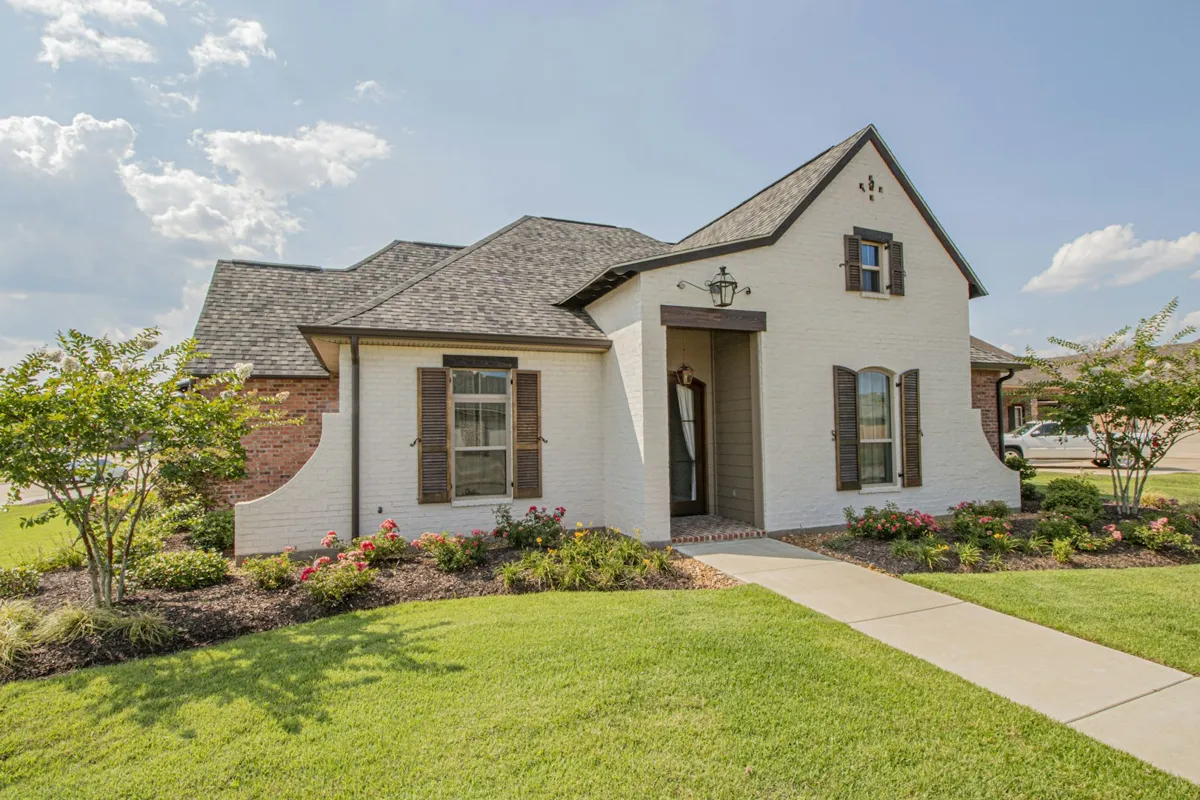
Real Estate & Land Marketing
Make your listings stand out with stunning aerial photography. Our drone services help real estate agents and land sellers showcase properties from unique perspectives, highlight lot size and features, and attract more potential buyers.
- MLS-ready listing photos
- Property boundary views
- Neighborhood context shots
- 48-72 hour turnaround